
Verified Ashland ZIP Code Coverage
Official USPS material confirms one Ashland city postal code in this research: 97520. It is served by the Ashland Post Office at 120 North 1st Street, Ashland, OR 97520-1900. No additional Ashland-specific city ZIP, post-office-box-only ZIP, or unique institutional ZIP was verified from official sources. The ZIP code directory should therefore stay narrow rather than expanding its coverage from nearby search suggestions.
| Verified ZIP | Postal area | Post office | Directory note |
|---|---|---|---|
| 97520 | Ashland city postal service | Ashland Post Office, 120 N. 1st St. | Confirmed Ashland ZIP; postal geography is not a city-limit map |
Phoenix, 97535, and Talent, 97540, appear as nearby alternate locations on the USPS Ashland page. They are not Ashland city ZIP codes and do not belong in this directory's local coverage. Keeping that distinction clear prevents a nearby post-office result from becoming an incorrect Ashland address claim.
Note: Nearby ZIP numbers are postal reference points, not additional Ashland coverage in this ZIP code directory.
Ashland ZIP Code 97520
Start an Ashland ZIP code check at the postal source. USPS is the authority for mailing geography and can confirm that the full address is formatted for the postal system. It does not settle whether a property lies inside the City of Ashland, which parcel it occupies, or who owns or lives there. Those are separate city and county questions.
USPS's Ashland Post Office page identifies the Ashland location and 97520 postal service. Record a mail result with the date checked, especially when a house-history question depends on a historic address that may have changed.
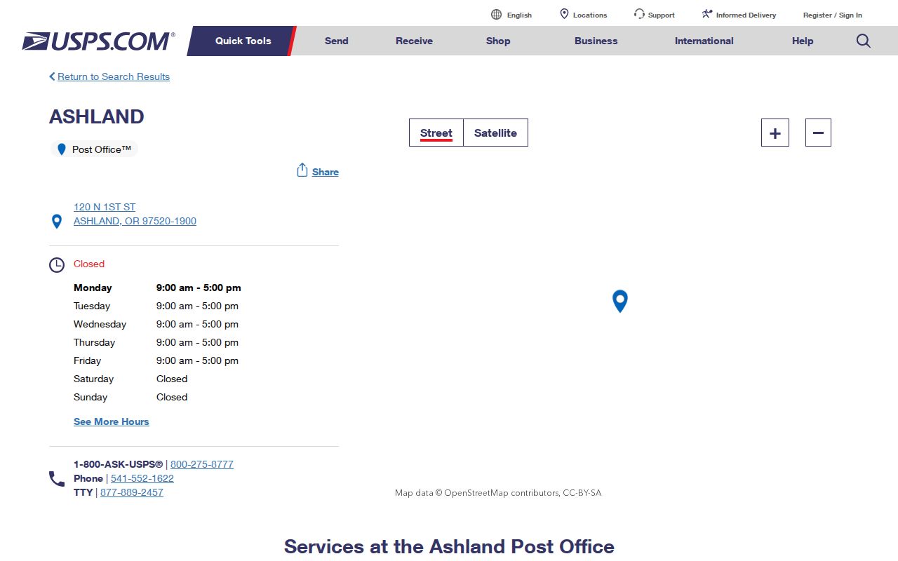
The postal page confirms the 97520 route; the next record step is the city map or county parcel system, not a ZIP-wide people list.
Ashland ZIP Codes and City Limits
ZIP boundaries organize mail delivery. Ashland's legal city boundary, Jackson County assessor parcels, school zones, election precincts, and utility service use their own maps. A 97520 result alone does not prove that an address is inside city limits. Likewise, a city annexation or address change should be confirmed through City Planning and the map/tax-lot record, not inferred from a postal label.
No official local ZIP-boundary or annexation realignment date was found in the research. That absence matters. It means a careful searcher should compare the complete address to the planning, GIS, and tax-lot information available for the date in question instead of stating that a ZIP line and city line always match.
Ashland's historic districts are another separate geography. Downtown, Railroad, Siskiyou-Hargadine, and Skidmore Academy are city preservation areas, and city material describes more than 1,700 properties and nearly 900 significant historic resources across the four districts. Recent outreach also uses North, Central, and South Ashland. Those names can help frame a development-era or archive search, but none defines a 97520 delivery boundary or a resident list.
For an older address, keep three keys apart: the street address used for mail and map searches, the tax mailing address used for county correspondence, and the legal description that identifies land in a deed. Plats, historical maps, Sanborn sheets, city directories, recording indexes, and dated tax cards can bridge those keys. Do not match a historic directory number to a current parcel until the address and land continuity have been confirmed.
Finding an Ashland ZIP Code Address
There is no official ZIP-wide Ashland resident search in the sources reviewed. The workable method is narrower: verify the mailing ZIP, then move to an exact address or parcel identifier. Jackson County's tax form has no ZIP field, and JIM's documented modes are map/tax lot, site address, street name, and account number. A ZIP can narrow the geography for a person who already has an address, but it cannot replace the address or tax lot in the county record systems.
- Confirm the complete mailing address and ZIP with the USPS source.
- Use the house number and street name in the Jackson County tax search, selecting one search method with roll type and tax year.
- Save the returned site address, account or map/tax-lot number, and legal description when the result matches the property.
- Open JIM with the address, map/tax lot, street name, or account number for parcel geography and current layer context.
- For a historic address, compare plats, map records, directories, and the recorder chain before equating an old number with a current parcel.
When a ZIP narrows the question to a particular street, the Ashland street directory explains the address-by-address parcel workflow. It should not be reversed into a ZIP-wide household list.
Note: An exact address or tax-lot number remains necessary after postal verification because Jackson County systems do not accept ZIP searches.
Why Ashland ZIP Searches Need Addresses
Jackson County's public property form starts with owner, location, property number, or tax bill information, not a postal code. The location method provides a house-number field and a street-name field. Its instructions advise street name alone for a better location search and prohibit an all-years choice in that mode. A result is a tax and assessment record, not a census of occupants.
JIM likewise needs a map/tax lot, site address, street name, or account number. It can show tax-lot geometry, layers, and permits after a property is located. The researched tools do not document a ZIP filter, ZIP boundary layer, buffer tool, or ZIP export. This is a useful limitation: search the actual field the system accepts rather than trying to force a postal code into a parcel query.
Oregon's voter tools have a different limit. My Vote lets a voter check or update that voter's own registration after identity entry; it is not an open address or ZIP browser. The Secretary of State can provide statewide or less-than-statewide electronic voter lists through its request process, but the researched page does not promise a ZIP filter. It says electronic delivery is by SFTP and allows up to 10 business days. Protected voter information and address-confidentiality rules still apply, so a postal code should not be presented as a shortcut around those limits.
Note: A tax mailing address routes county correspondence and may differ from the physical situs address shown for the parcel.
Ashland ZIP Code Property Fields
The following is the actual field set captured from the county tax form. It is useful after an Ashland ZIP code check produces a complete address, because it shows what the county accepts. Roll Type and Tax Year are required to activate a search. Use one search option at a time, then copy the live property result rather than assuming fields not shown on the screen.
| County field | Field type | Search note |
|---|---|---|
| Property Owners Name | Text | Optional; last name first and last name alone preferred. |
| Location House Number | Text | Use with the location method. |
| Location Street Name | Text | Street name alone is advised; location mode cannot use all years. |
| Property Number | Text | Exact or partial displayed format. |
| Tax Bill Number | Text | Optional bill-number route. |
| Roll Type and Tax Year | Dropdowns | Required with a search; select the applicable live choices. |
Situs is the physical location used in map and address searches. The mailing address routes tax notices. A legal description ties a deed to land. These three keys may agree, but they should never be collapsed into one assumed fact.
Reading Ashland ZIP Code Map Numbers
A small local clue helps when moving from postal geography to a city record. City of Ashland map numbers begin with 391E, with 391E10AA offered as an example in city material. County PDO and JIM also support Account, Map & Taxlot, Address, and Subdivision modes. Preserve the complete value that appears in the system being searched. Do not truncate it or apply a City of Ashland map-number convention to an unincorporated Jackson County parcel.
The City Planning address-change application reinforces the point. It calls for map and tax-lot number, existing or parent address, frontage street, site map or diagram, and development information. That process ties an address to land facts. It does not make an address a permanent personal identifier.
Note: Copy a map or tax-lot value exactly as displayed, since city and county identifier formats serve different record systems.
Ashland ZIP Code Context
City statistics and historic areas can provide context, but they are not ZIP-level resident lists. Census QuickFacts estimates Ashland at 20,889 residents in 2025, while the city has four National Register historic districts: Downtown, Railroad, Siskiyou-Hargadine, and Skidmore Academy. City outreach also refers to North, Central, and South Ashland. None of those labels is a USPS postal boundary.
Census QuickFacts for Ashland supplies citywide context rather than a 97520 household inventory.
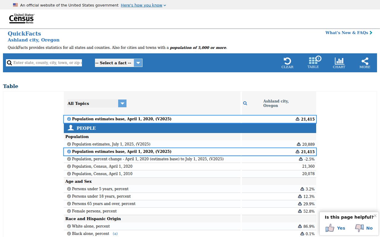
The QuickFacts view helps distinguish citywide numbers from the postal geography that the ZIP code directory verifies.
Ashland ZIP Code Specialized Searches
Some state systems use city or ZIP as a limited filter, but they do not become an Ashland resident directory. Oregon's active entity search returns active filings and can show registry number, entity type, registered-agent name and address, mailing address, and associated names. A filing address is a record contact point, not proof of an individual's personal address or current presence in Ashland.
Oregon's active entity search is one specialized, name-based record channel.
That search is useful for a dated filing question, but its address fields cannot establish personal residence.
Oregon Business Xpress has a license-directory routing tool with keyword and category filters. It sends users to the relevant issuing body, whose rules control the actual search. A searchable credential is not a household listing.
Oregon's license directory shows the routing and category interface for those specialized queries.
The category tool routes a specialized record search; it does not supply a ZIP-based list of Ashland residents.
Oregon's UCC information route permits name and file-number searches. Its custom form has a city or ZIP option priced at $50 per five cities or ZIP codes, but that request concerns specialized UCC filings, not residents. The fields and purpose must remain separate from a household inquiry.
Oregon UCC search information describes the official filing-search channel.
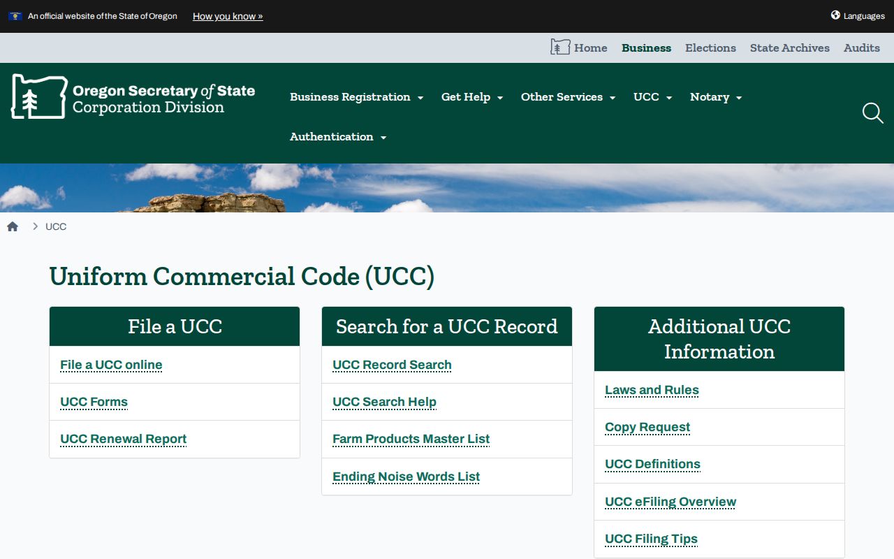
A UCC result can document a filing relationship, while the ZIP code directory remains focused on postal verification and address-to-parcel research.