
Sources for Ashland Previous Residents
A backward search has to change tools as the date changes. Jackson County's current tax and property path identifies a site address, account, map and tax lot, legal description, and current owner label. PDO supplies deed records from 2002 forward. The Recording Division counter adds a computer index for official records from 1985, while older direct and indirect index volumes, microfilm, and tax-lot cards carry the trail farther back. City directories, census records, Sanborn maps, and archives add household or building context but never substitute for the parcel's legal description.
| Historical source | Years available | Where held | What it can establish |
|---|---|---|---|
| PDO deed route | 2002–present | Jackson County online pathway | Recorded-deed trail and party roles for a matched parcel |
| Computer official-record index | 1985–present | Jackson County Clerk Recording Division | Counter-based recorded-document index |
| Direct/Indirect indexes and reels | 1966–1979 indexes; 1966–2001 reels | Recording Division | Older party and document sequence research |
| Historic tax-lot cards | 1853–1999 | Assessor storage or office | Ownership changes, acreage, description, and possible deed references |
| Ashland directory and census layers | Verified directory fragments; census released through 1950 | SOHS, JCLS, libraries, and archives | Dated household or address context |
Use the newest source to anchor the parcel, then move to the correct earlier channel. A source gap does not mean the property had no prior history. It usually means the next custodian, format, or date band is needed.
Ashland Deed Records Before 2002
The online cutoff is a key Ashland address-history fact. The State Archives county inventory says PDO includes deeds from 2002 to the present, not a complete all-years title index. At the Recording Division, official records generated from 1985 have a computer index. Earlier resources include Direct and Indirect Index volumes for 1966–1979, official-record microfilm through 2001, and other microfiche and reel sequences. The office is at 10 S. Oakdale Avenue, Room 114, Medford, with a recorded-office phone of 541-774-6152.
That layered route is the local records story. Historic tax-lot cards reach from 1853 to 1999, then the later index and reel systems overlap the modern online deed route. Each format should be cited by its date and custodian. A browser result is only one link in the chain, and a similarly numbered modern address must not be treated as the same property until its legal description and tax lot match.
The Oregon State Archives Jackson County inventory lists the coverage boundaries and physical channels that make that transition possible.
Note: The online cutoff changes the format and custodian channel, but it does not mark the beginning of a parcel's history.
Tracing Ashland Previous Residents by Deed
Deeds trace property parties, not all occupants, so they are a starting point for previous residents rather than a final household list. Begin with a current tax or PDO result and copy the situs address, account or map/tax-lot number, legal description, exact owner spelling, and any sale or document clue. In the recording chain, the current owner is generally searched as grantee to find the acquisition. The prior seller is then searched as grantee to find that person's earlier acquisition. Continue only where the legal description and parcel identity agree.
- Find the current property record and save the site address, account or map/tax lot, and legal description.
- Locate the current owner's acquisition in PDO or the Recording Division index and preserve the recording date and document number.
- Identify the grantor, then search that party as an earlier grantee while comparing the same legal description or lot.
- Repeat the matched parcel sequence until PDO ends, then use the office computer index or counter-held older formats.
- For much older links, ask about index books, reels, tax-lot cards, plats, and archival routes.
- Grantor
- The party conveying an interest in a recorded instrument.
- Grantee
- The party receiving that interest. Searching a grantee often locates that party's acquisition.
- Chain of title
- A dated sequence of recorded transfers tied to the same legal description.
- Legal description
- The recorded land identity, such as lot, block, subdivision, or township information, used to distinguish a parcel beyond a street number.
Historical research is not a legal title opinion. A title professional may be needed where a legal determination is required.
Ashland Tax-Lot Records and Microform
Historic tax-lot cards are a practical bridge when a previous-resident search crosses the web cutoff. Jackson's cards span 1853–1999 and may include tax-lot number, township/range/section location, land description, ownership changes, acreage, and a deed reference. They do not automatically identify everyone in a household, but their parcel details can connect an old description to a recorder or map query.
Microform is another essential channel. The Recording Division's old official-record reels cover 1966–2001, while the direct and indirect index volumes identify earlier document paths. Ask staff for the current procedure, availability, and copy options rather than assuming a particular image is online. The county's historical inventory locates clerk, recording, assessor, archive, SOHS, and RVGS channels that overlap without being identical.
Note: Record the tax lot, legal description, document date, and holding office at every step because each source covers a different time span.
Ashland Previous Residents and Address Continuity
An address can change while land identity continues. Ashland Planning assigns new or changed municipal addresses in relation to map and tax-lot information, frontage street, development details, and a site map or diagram. The current application fee is $50.30 per address. City map numbers begin with the 391E prefix, while county systems use account, map and tax lot, address, and subdivision modes. Copy what the relevant record actually displays rather than forcing a city map form onto every Jackson County parcel.
No official dated Ashland street-renumbering or renaming table was located in the research. That is a reason to test continuity, not to invent an old-to-new conversion. Compare map/tax lot, legal description, plats, title records, old directories, Sanborn sheets, and map archives before matching a historic street number to a modern parcel. A deed's mailing address is likewise a correspondence address, not proof that the party lived at the site.
Note: A matching street number is not enough; parcel continuity needs an independently confirmed map, tax-lot, or legal-description link.
Ashland Household Records by Date
Once a deed supplies an ownership era, use historical volumes for the household layer. SOHS confirms Ashland directory photocopies for 1878, 1881, and 1886–87, plus a reported 1921 holding. Read personal and street/address sections where a specific volume has them, and inspect the abbreviation key. Pair each dated directory entry with the nearest released federal census, which currently reaches 1950. A directory is a commercial annual snapshot, while a census is a household record on its enumeration date.
Build a simple date line: legal-description and deed event, directory appearance, census date, map or permit clue, then any obituary, death, or probate record. One source cannot settle occupancy. A listed person may be a boarder, a property owner may be missing from a directory, and a source may have an unverified gap. The collections themselves are described on the Ashland city directory page.
The Jackson County marriage application information describes the clerk's local marriage channel. Historic marriage volumes and abstracts can add a dated family connection after a directory lead, but newer records follow the county and OHA access rules.
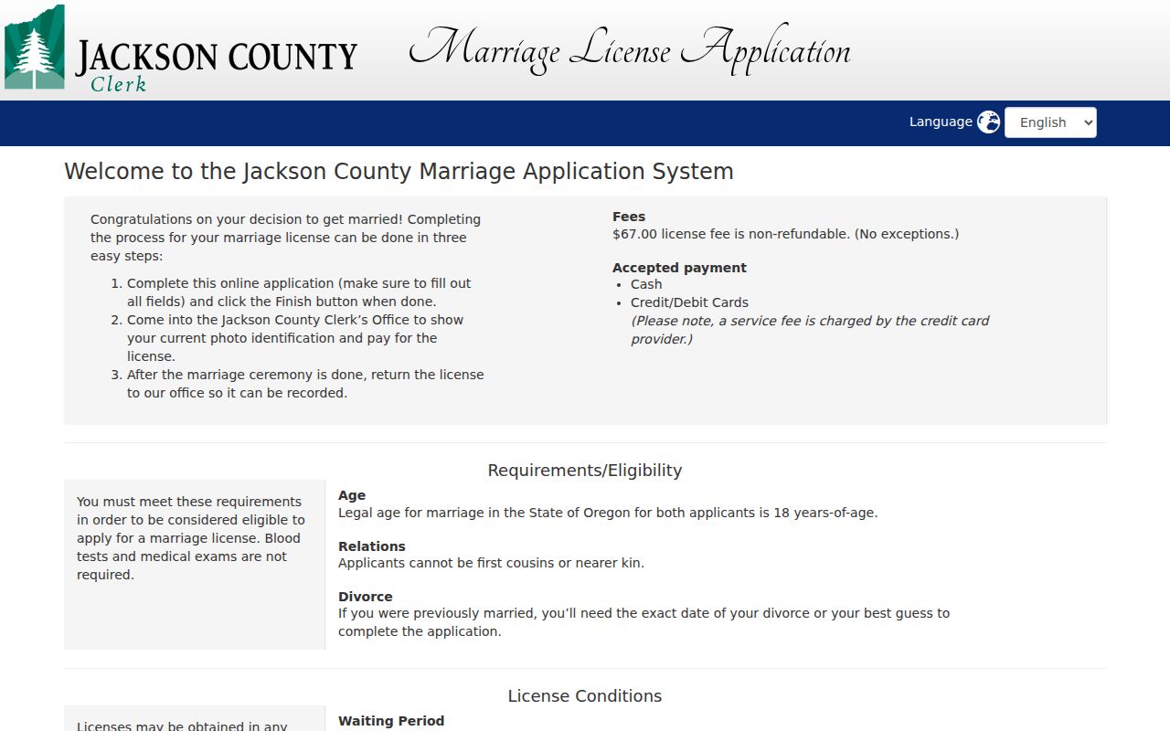
The county application route is an example of a custodian channel that can corroborate a historical family link without asserting a current address.
Ashland Sanborn Records and Permits
Sanborn maps and permits date the building and its setting, not its household. The Library of Congress has an Ashland Sanborn record; inspect each sheet's date and legend before drawing a conclusion. The sheets can show building footprint, material, use, street alignment, block/lot setting, and sometimes street numbers. JIM planning-permit points cover 1980 to the present and update weekly. They are map-based clues for development or alteration, not a roster of people.
When a request must go beyond an online result, Oregon Public Records Law, ORS 192.311–192.478, supplies the request framework. Under ORS 192.324, a public body generally acknowledges or completes a request within five business days and, if more time is needed, gives an expected completion or denial date. Direct the written request to the custodian, and expect a fee estimate when anticipated charges exceed $25.
Oregon's public-records and meetings-law guidance explains request and exemption principles for the correct agency channel.
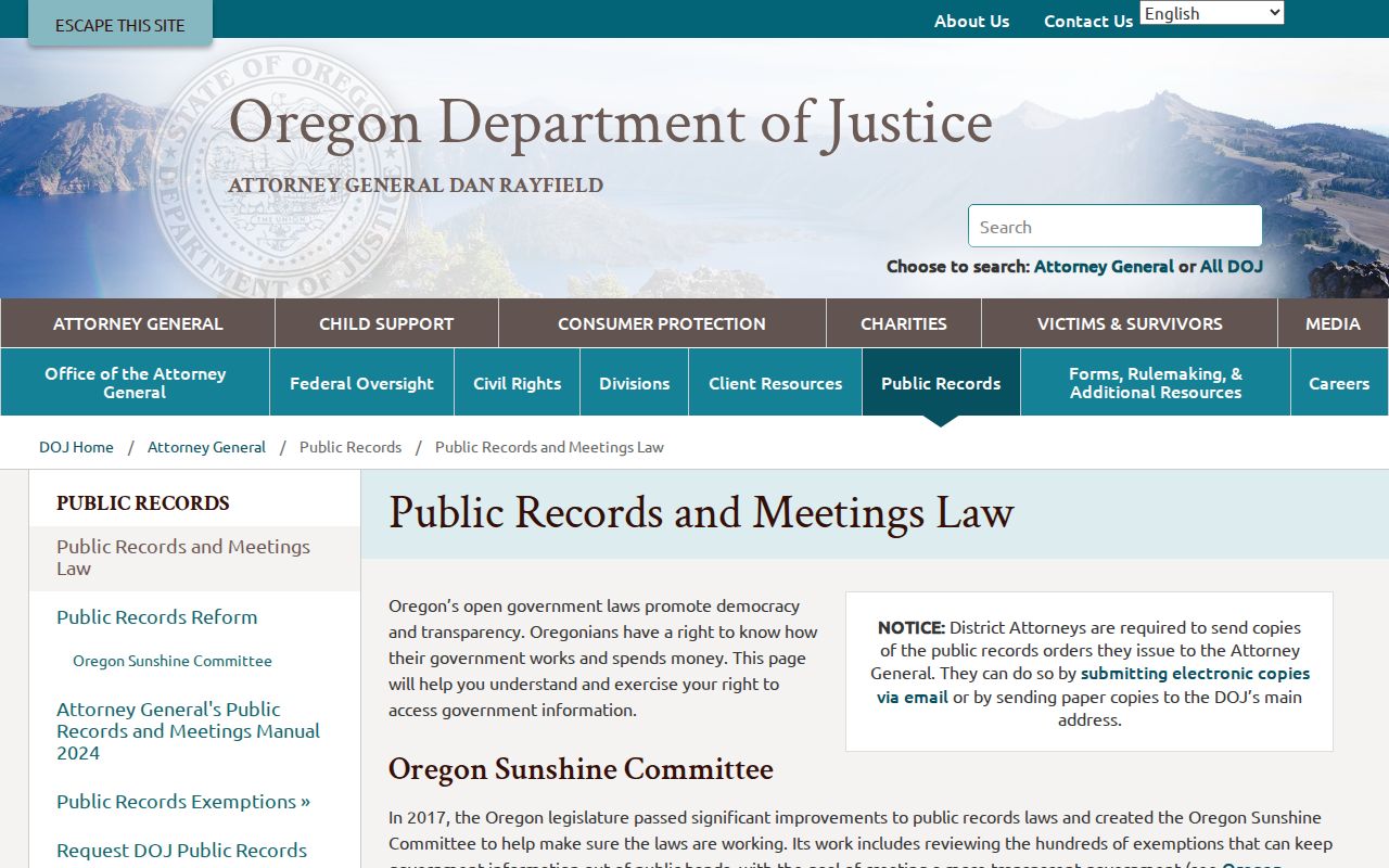
A focused request for a known record is more useful than a broad personal-data request, and protected information remains subject to redaction or exemption.
Closing an Ashland Previous Resident Trail
An obituary, death index or certificate, estate or probate docket, and later deed can explain why an older household no longer appears. Jackson estate indexes in OHRI cover 1853–1925; later probate matters belong with Jackson County Circuit Court and OJD channels. An index is a lead, not the original record, and court contact information can be protected or outdated. Use only the controlling custodian's process and preserve the source date.
A Secretary of State business or public-information record can sometimes document a filing, associated name, or mailing information at a point in time. It is not evidence of a personal address or present occupancy. The Oregon Secretary of State public information and data service describes business images, copies, UCC, notary, counter, and contact channels that should be kept separate from the property trail.
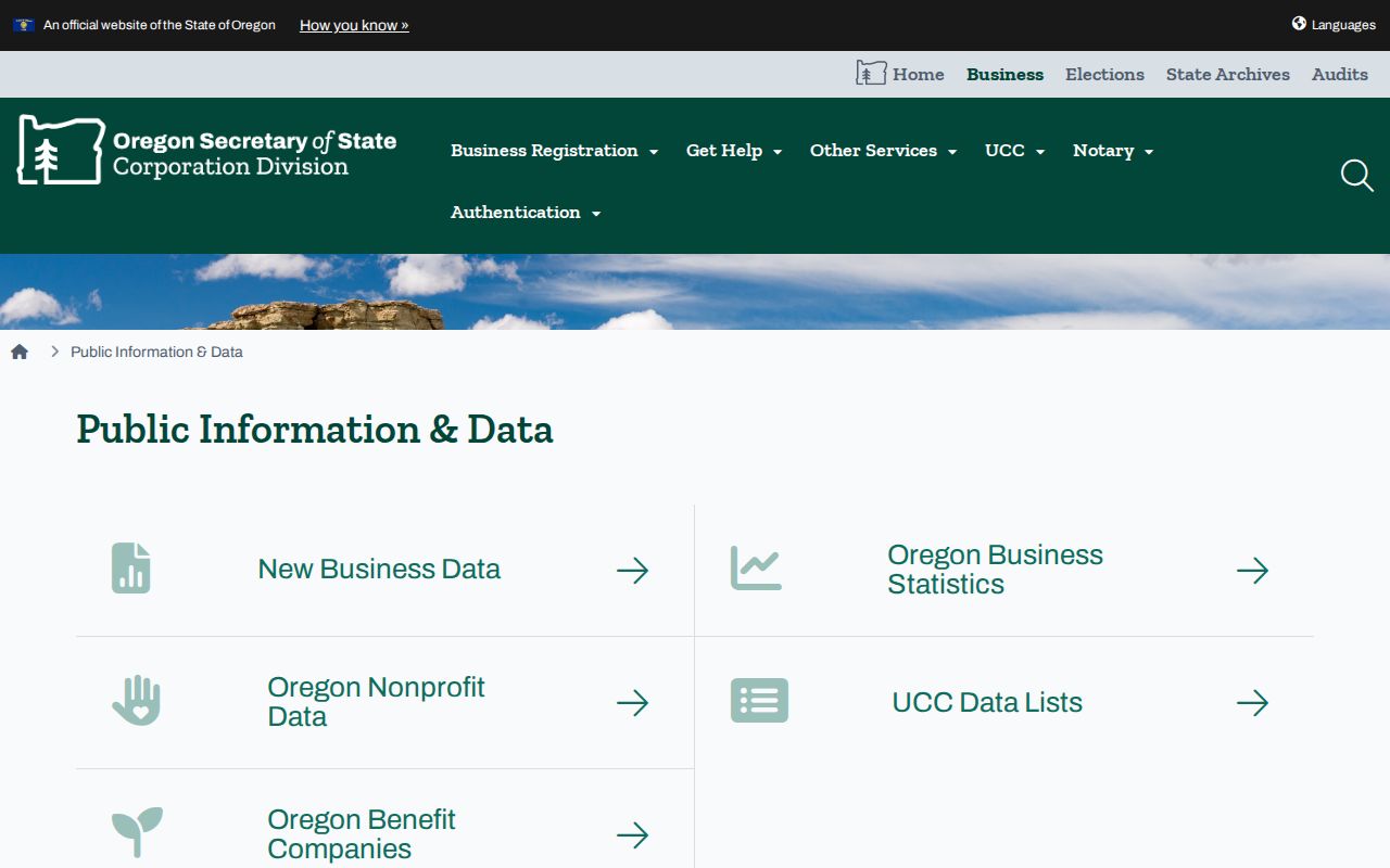
That state source can document a dated filing path, while the parcel, deed, directory, and archive record each retain their own limits.