
Ashland Neighbors Block Sources
The most reliable starting point for Ashland neighbors is the public geography surrounding a single site. Jackson County’s map and property chain can show parcel boundaries, site addresses, account information, owner labels, assessed values, and related deed history. They do not create a household directory. A visually adjacent parcel can be vacant, common area, commercial, or held by several owners. Voter data is separately governed, and voluntary community groups decide what contact material they publish. Read each result as evidence about a parcel or record, not as a declaration of who belongs on a block.
| Block Source | What It Can Show Nearby | Ashland Access and Limit |
|---|---|---|
| JIM tax-lot map | Parcel lines, site addresses, and adjoining geometry | Map identify and layers; no household-name list |
| Tax and property roll | Owner label, tax parcel, values, and selected mailing data | Search one parcel at a time; not an occupancy record |
| Recorded deeds | Prior owners and legal descriptions | PDO from 2002 plus historical counter channels |
| Permit layer | Building or planning activity linked to a parcel | Planning data from 1980 forward; a role is not a household list |
| Voter-list request | Lawfully disclosed elector fields | Request, fee, and statutory restrictions; My Vote is not a block tool |
| Community channels | Public meetings and voluntary contact points | No official Ashland association directory or public membership roster verified |
An owner mailing address may be where tax correspondence goes, while the site address marks the parcel’s physical location. Neither one alone tells you every person connected to a property. Keep the account number, map-and-tax-lot, source date, and exact spelling together when comparing nearby parcel results across the map and tax record.
Ashland Parcel Record Maps
Jackson County Interactive Map, known as JIM, is the geographic layer for an Ashland block. Its documented Property map accepts map and tax lot, site address, street name, or account number. The Layer List can toggle available data, and the map offers hillshade, aerial, topographic, and standard-street backgrounds. JIM’s instructions do not document a precise radius or bulk-export tool, so a block should be examined parcel by parcel instead of treated as an automated neighbor search. County data are updated weekly and can contain multiple polygons or several owners for one relationship.
Use this short process to map the immediate Ashland block:
- Find the starting site by address, account number, or map and tax lot, then confirm the selected parcel’s geometry.
- Click a visibly adjoining polygon or pan along the block, recording each account or map-and-tax-lot before reading its owner label.
- Compare each parcel with the tax search and, if needed, the deed’s legal description, keeping the site and mailing labels separate.
- Use permit information only to understand property activity and dates. For a full named-street chain, use the Ashland street directory rather than extending a block check beyond its evidence.
Parcel proximity is not a social relationship. This method helps distinguish adjacent land from an assumed household connection, which is particularly important where an Ashland lot has shared ownership or several map shapes.
Note: Save the map layer and search date because the county tax-lot service is updated weekly and a screenshot is only a point-in-time reference.
Ashland Voter Record Boundaries
Oregon’s voter file has a lawful public-record path, but it is not a browser for an Ashland block. My Vote is identity-gated self-service for a voter to check or update their own registration and ballot status. A requested voter list can include certain public fields under Oregon law, while full date of birth, Social Security number, driver-license number, signature, Address Confidentiality Program information, and protected residence information are excluded. A voter record indicates registration, not every adult at an address or permission to contact anyone.
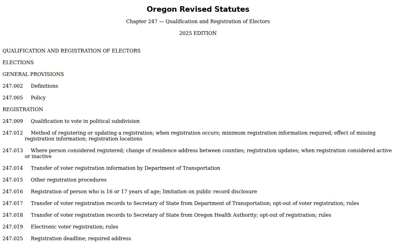
The Oregon voter-record statutes set the public and confidential field boundaries relevant to an Ashland neighbor search.
The Secretary of State voter-list request page describes statewide and smaller electronic-list requests.
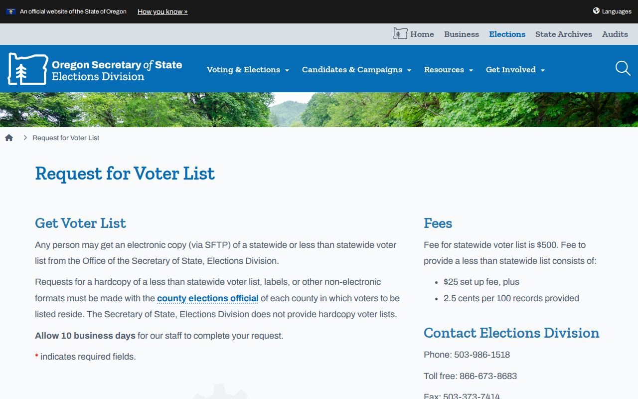
Oregon says a statewide electronic list costs $500, while a smaller-than-statewide electronic list has a $25 setup fee plus 2.5 cents per 100 records, with up to ten business days allowed for delivery. Hardcopy, labels, and other non-electronic county subsets go to the relevant county election official. ORS 247.955 restricts commercial use of elector lists.
Mapping an Ashland Neighbor Block
Owner labels need a second check before they guide an Ashland block check. Start at a site address, then follow the chain from parcel geometry to account or map-and-tax-lot, property record, and only then to a recorded document if a historical ownership question remains. A legal description is the recorded land identity, using details such as a lot, block, subdivision, or township-and-range terms. It is more durable than a street label when the same address needs to be matched across GIS, tax, and recorder records.
Address to block flow: site address or map and tax lot → target parcel geometry → adjacent parcel geometry → account and property record → legal-description comparison → dated deed or permit record where needed.
JIM’s permit layer can show multiple results through its map pop-up arrows and links onward for detail. Planning permit points begin in 1980 and are updated weekly. A permit can help date a building change or identify an applicant, owner, or contractor role at a particular time. It cannot establish current occupancy or identify all people around an Ashland address.
Ashland Community Record Paths
Public community material is a better route for learning about a shared Ashland concern than trying to reconstruct a private roster. The City’s 2025 parks and recreation outreach published South, Central, and North Ashland neighborhood-meeting summaries. Those materials document civic-area input, not association membership. Ashland’s commissions and committees likewise publish member names, agendas, and meeting materials through public city records, yet they are not geographic rolls of people who live nearby.
| Community Channel | What Is Public | What It Does Not Establish |
|---|---|---|
| North, Central, and South Ashland meetings | City planning and outreach material | A directory of households in the area |
| Local voluntary association | Opt-in membership or published contact process | That a membership roster is public |
| Small community board or news page | Limited public board and news information | A list of every person connected to nearby parcels |
| City commissions and committees | Members, agendas, minutes, and meetings | Neighborhood membership by address |
The Ashland neighborhood-meeting materials illustrate the city’s current North, Central, and South outreach record.
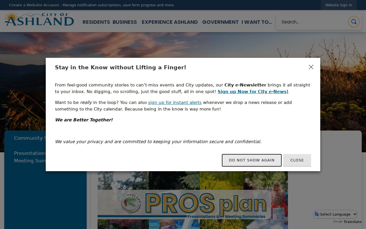
Voluntary contact and a published meeting process respect the limits of the public record. No official city neighborhood-association directory or public association roster was confirmed for Ashland.
Ashland Neighbor Source Comparison
Official records and commercial neighbor tools solve different problems. The official side lets a reader see the custodian, record date, and source boundary. A commercial category may combine old address and property material, yet it cannot reliably separate an owner from a current household member, a protected person, or a current occupant. For an Ashland block, source context is more useful than a long unverified list.
| Source Type | Useful Block Question | Limit to Keep in Mind |
|---|---|---|
| County parcel and tax records | Which parcels meet at this address and who is labeled owner? | Owner and mailing data do not prove occupancy |
| Recorder and dated deeds | How did title move through a legal description? | Recorded parties are tied to a document date and role |
| Voluntary community source | Where is a public meeting or contact channel? | Participation is not a public household roster |
| Commercial neighbor category | What lead might need source checking? | May be stale, merged, or unable to distinguish protected records |
Note: For an Ashland block question, retain the custodian link and date so a later reader can verify the particular parcel record.
Ashland Safety Record Limits
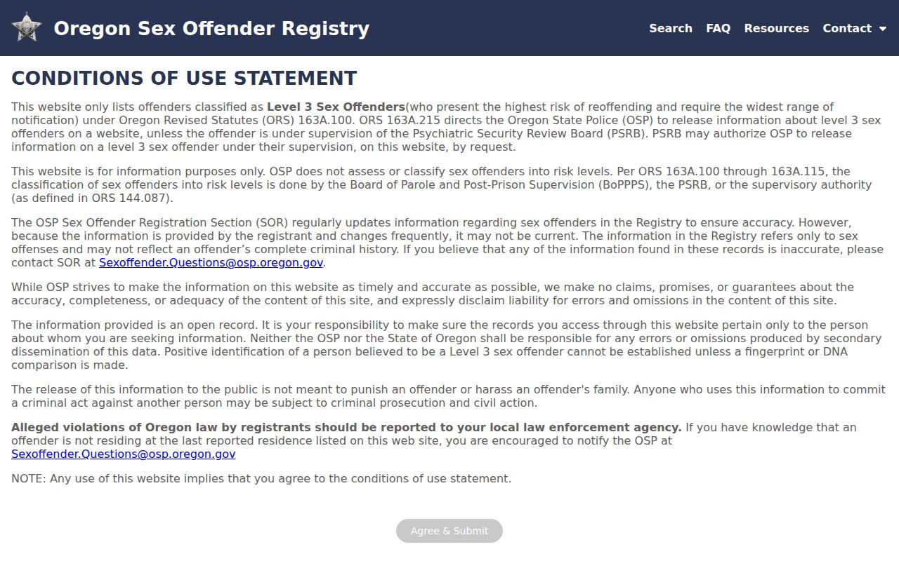
Public-safety systems are not tools for assembling an Ashland block list. Oregon’s State Police registry is governed by public-safety classifications and warns that not every person convicted or adjudicated of a sex offense is required to register. Oregon DOC’s VISOR is a custody lookup that accepts a full or partial name or an ID number and says its information may change and is not an official record. Federal custody has a separate Bureau of Prisons locator. None of these sources proves that a person is on a given block, and none should be used to contact, track, or harass a person.
The Oregon State Police registry entry is a public-safety source with its own legal scope.
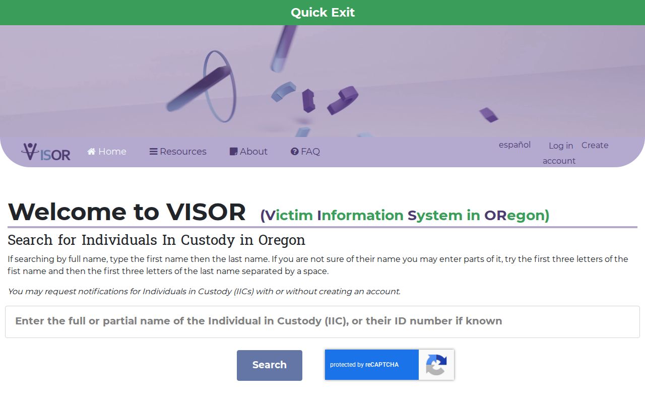
The Oregon VISOR custody lookup is a state-custody resource, not an address record.
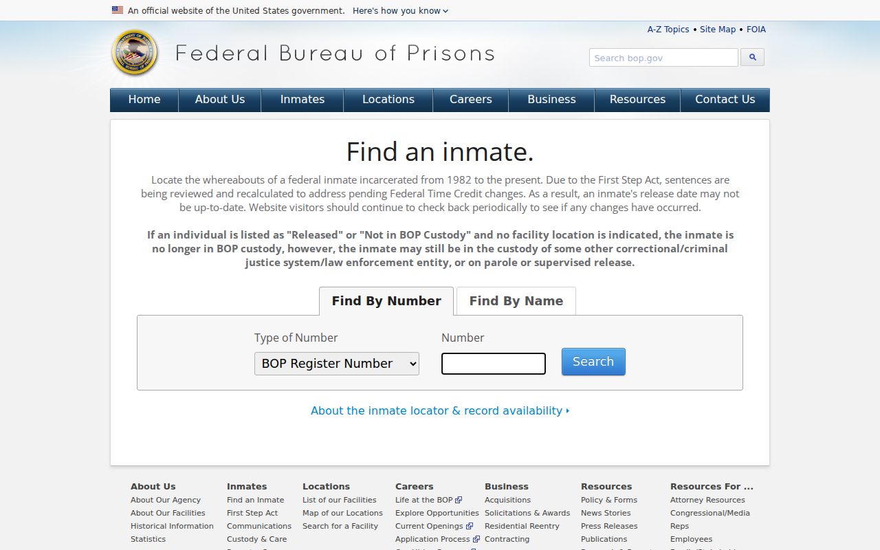
The Federal Bureau of Prisons inmate locator covers federal custody, not a Jackson County jail or an Ashland parcel.
No official live Jackson County jail roster was located. Contact the Sheriff or booking desk for the current process instead of treating court or custody information as a local neighbor record.
Ashland Neighbor Privacy Limits
Public records deliberately leave important details out. Oregon protects Address Confidentiality Program participants and certain voter residence information. DMV personal information is restricted, and utility, delivery, and phone-customer data are not general public directories. The county tax roll does not provide a complete household list. A map can show adjacent geometry, not a right to infer a personal relationship. When the record does not disclose something, do not try to rebuild it from fragments.
Oregon’s public-record exemptions require agencies to redact protected material, and ORS 192.445 can support suppression of certain contact information when disclosure endangers personal safety. An Oregon data-broker opt-out also does not remove records held by their government custodian. Correction requests belong with the agency that maintains the record, not with a map or directory.
Lawful use. Use Ashland neighbor records for personal, civic, family-history, or community purposes. Do not use a map, record, or public-safety source to stalk, harass, intimidate, or harm anyone.